The map for the Mountain Orienteering has been drawn using data from a recent laser scanning. This enables accurate contours and as a consequence accurate orienteering and locations of the controls. In mapping in the terrain we have focused on the paths and finetuning of the contours (5m), where the picture they give does not fully correspond to what the orienteerer sees in the vicinity of controls.
The legs between the controls have been set to create versatile route choice tasks, both with respect to the speed and difficulty the route offers, and how it enables to find the control. When selecting control points we have paid attention to aestetics and the ability to orienteer to the control flag so, that when you are at the control point you see the flag and may admire the shapes of the terrain. The accurate map enables accurate control points.
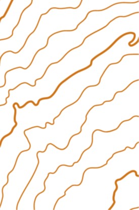
In particular the distance to start the first day is relatively long. This is to give the runners in all cathegories the opportunity to admire the best parts of the terrain.
All runners will come out on the mouintain meadows with good runability and breathtaking views.
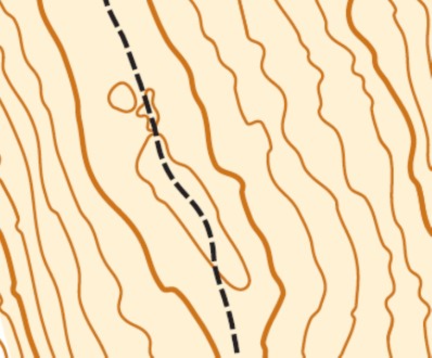
The accurately drawn and steep slopes offer excellent opportunities for demanding legs and control points.
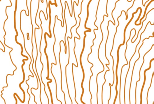
The flat slopes and pine tree ridges give opportunities for high speed, but remember your orienteering technique.
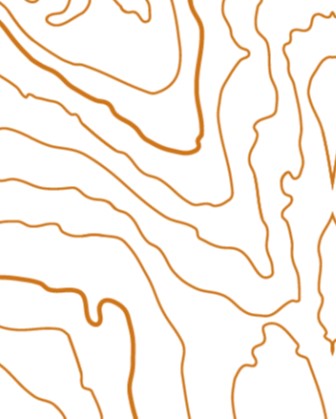
There are some creek and short marsh crossings.
We offer an “once upon a lifetime” orienteering experience, physically and technically challenging, but rewarding.
Course setter
Ulf Meriheinä